
Faribault ZIP Code Coverage, Read Carefully
The documented city-level answer is deliberately narrow. Faribault's official 2009 ZIP Code Area Map identifies 55021 for the city. Research did not locate a current official list that defines every place outside city limits served by that delivery area, so this Faribault ZIP code directory does not assign neighboring communities or unverified areas to it. Postal delivery geography, the municipal boundary, a precinct, and a Rice County township are separate systems. The dated city map is useful for local orientation, while a current postal query is the better check for one active address.
| ZIP Code | Areas Covered | Post Office | Notes |
|---|---|---|---|
| 55021 | Faribault city on the official 2009 city ZIP-area map | Not identified in the research | Map is historical. The service area may extend beyond city limits, but a complete official outside-city list was not located. |
That restraint prevents a common error: treating the label on mail as proof that an address lies inside the City of Faribault. For Faribault records work, retain the Faribault city or township field alongside the Faribault ZIP code and note the date of the Faribault map or lookup used.
Check a Faribault ZIP Code With the Exact Address
For a present delivery question, start with the USPS address-to-ZIP lookup and enter the complete street address. The tool is dynamic, so its result should be treated as the current postal response for that address, not as a permanent boundary map. If it rejects an address, compare the official city street and address maps, verify whether the location is in Faribault or a surrounding township, and use a Rice County parcel PIN when one is known. A directional suffix, a changed street spelling, or a unit format can affect a search.
The USPS ZIP lookup below is the captured starting screen for a Faribault ZIP code directory address check.
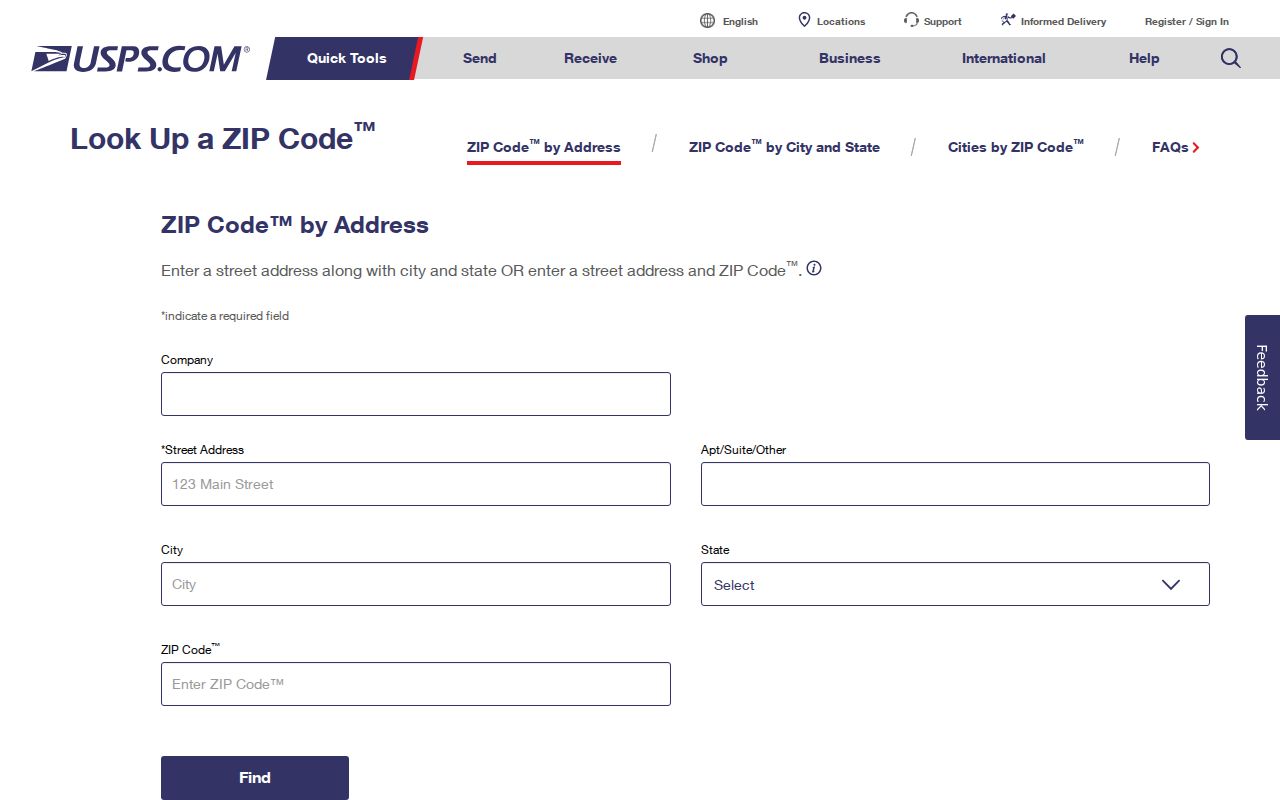
Use the returned ZIP as a Faribault delivery validation, then keep the full Faribault address with the search date in your notes. The research did not capture a live Faribault result screen or a modern official Faribault postal-boundary layer, which is why one lookup should not be expanded into a broad area claim.
Faribault ZIP Code Fields in Rice County Parcels
Rice County's public ArcGIS parcel layer is useful when the question has a land-record component. Its verified field inventory includes ZIP, ZIP4, city or township unit, post community, street components, county PIN, state PIN, owner and tax-mailing fields, subdivision or plat, lot and block, and recorded date. These attributes can help compare records, but the technical field names may not match the labels in Beacon and do not establish the Postal Service's current delivery boundary.
The Rice County ArcGIS parcel-layer field list shows the ZIP-related fields available for a Faribault ZIP code directory comparison.
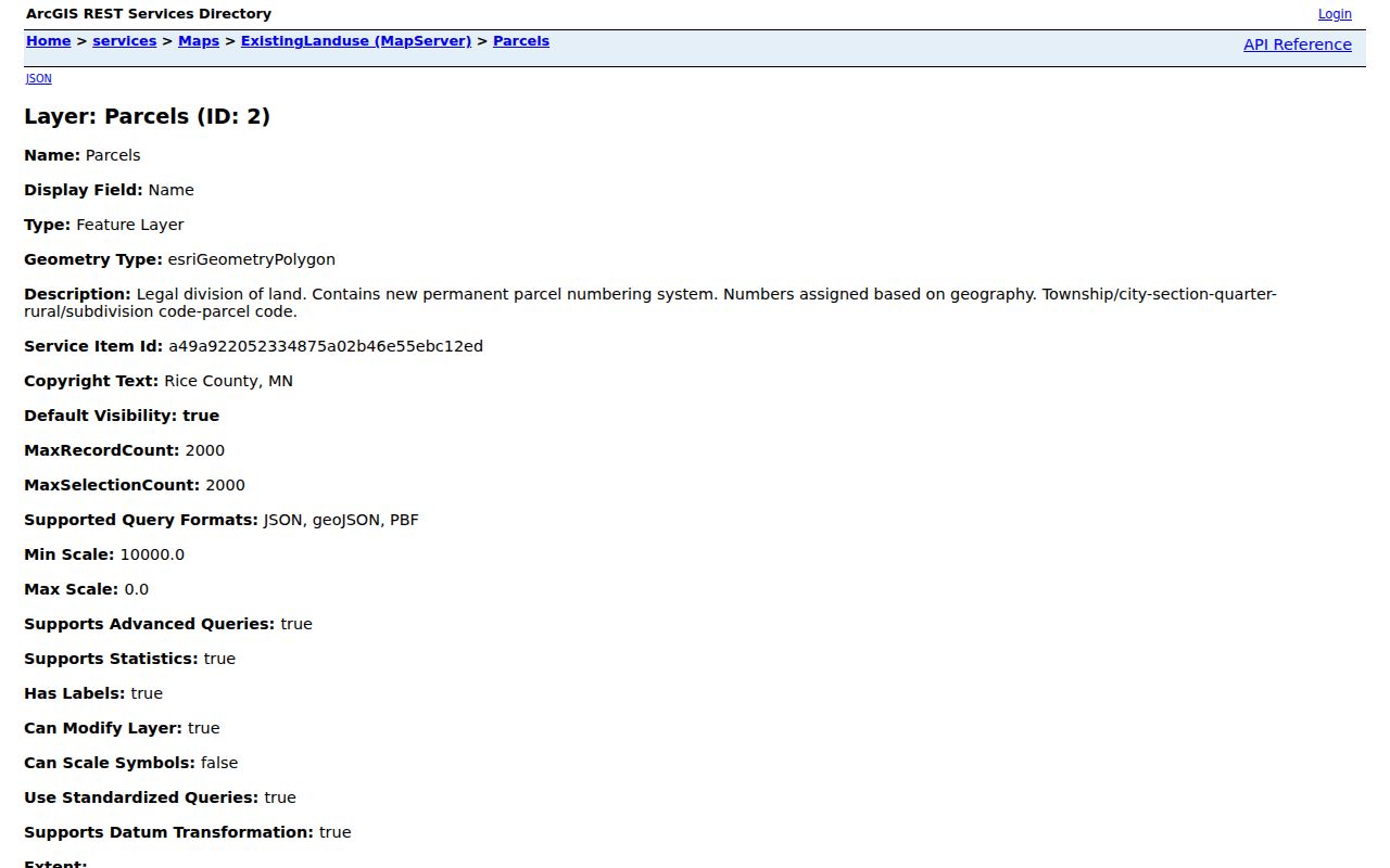
A Faribault parcel PIN is the stronger long-term land anchor. An old Faribault street number can change, and a Faribault post-community value or ZIP field can differ from a current Faribault mailing answer without proving that either source is wrong.
Search a Faribault ZIP Code in the Right Order
ZIP data works best as a narrowing field rather than a person list. Begin with the exact address and current postal response, then move to the county's public map or property route if a parcel is involved. MNVotes also offers a ZIP-based start, but it changes to county, city or township, house number, and street before it can check an individual's registration status. It is not a bulk search tool.
- Confirm the complete address with USPS and record the date of the result.
- Use the address or county PIN in Rice Beacon or the parcel layer, then compare ZIP, ZIP4, post community, and city or township fields.
- For an individual registration check, use MNVotes and supply the requested name, date of birth, ZIP or county route, city or township, house number, and street.
- If the question becomes a recorded-document question, switch from ZIP to the PIN and legal description before contacting the Recorder.
Once a Faribault ZIP has narrowed the Faribault area to a named road, the Faribault street directory explains the Faribault address-focused record path without turning postal geography into a title search.
Faribault ZIP Code Search Fields and Limits
Minnesota's official registration lookup has a specific field sequence. It asks for first name, last name, date of birth, and either a ZIP-search route or a county-search route. The address portion then uses ZIP code or county, city or township, numeric house number, selected street, and, when needed, a unit field. The interface is designed to confirm a person's own registration status or show next steps, not to expose a block roster.
| Official tool | Verified input fields | Use in this ZIP code directory |
|---|---|---|
| Minnesota voter registration lookup | First name, last name, date of birth, ZIP or county, city or township, house number, street, optional unit | Use ZIP as an initial routing field, then complete the individual status check. |
| Rice ArcGIS parcel layer | ZIP, ZIP4, city or township, post community, street components, PIN, lot/block and plat fields | Compare parcel geography with the exact address and preserve the query date. |
Public voter-list products have separate legal limits. They are available only to registered Minnesota voters for a permitted election, political, or law-enforcement purpose, and they exclude several private fields. For a routine Faribault address question, the individual lookup and the Rice County Faribault election office are the appropriate Faribault routes.
Faribault ZIP Code Boundaries Are Not City Limits
Faribault city limits are a municipal line. Faribault ZIP codes organize mail delivery. A Faribault precinct is an election geography, and a parcel's post-community field is a county database attribute. Faribault's official map collection offers separate overview, street, address, precinct, city-limits, and ZIP-area references because these boundaries serve different tasks. Near a Faribault edge, compare the city address map, the parcel record, and USPS rather than selecting the answer that happens to look most familiar.
Note. Preserve conflicting ZIP, post-community, and city-limit fields with their dates; a mismatch may reflect an older map, delivery geography, or a changed local address convention.
Faribault ZIP Code Terms for Address Research
These terms keep a Faribault ZIP code directory search from taking a Faribault postal label farther than the Faribault records support. They describe Faribault addressing systems, not a statement about who currently occupies a Faribault place.
- ZIP code
- A Postal Service delivery-routing code. It can cover places beyond one municipality and does not define city jurisdiction.
- ZIP+4
- An added four-digit delivery segment. Rice County's parcel layer stores ZIP and ZIP4 attributes, but USPS remains the current address-validation source.
- PO Box ZIP
- A code used for post-office boxes rather than a broad street-delivery area. No Faribault PO Box-only ZIP was verified in the research.
- Unique ZIP
- A code assigned to a single institution or organization. No Faribault unique ZIP was verified in the research.
- Carrier route
- A delivery grouping used by the Postal Service. It should not be treated as a city boundary or a parcel boundary.
Faribault ZIP Code Checks for Historic Addresses
ZIP codes are especially weak as a bridge to older address research. A historic directory or newspaper may use an abbreviated street, a directional term, a former street name, or a number later changed through renumbering. The city street and address maps, Rice County plat books, and Faribault Sanborn sheets offer a better way to test the physical place. First preserve the period spelling and map date, then compare it with a current county PIN if the lots can be reconciled.
The Faribault ZIP code directory is therefore a present-address tool with a dated Faribault city-map reference, not an automatic crosswalk from an old Faribault listing to a modern Faribault parcel. When Faribault map evidence conflicts, record the Faribault uncertainty and request the underlying Faribault record from the relevant custodian.
Resolve a Faribault ZIP Code and PIN Mismatch
A mismatch does not automatically mean that the Faribault address, ZIP code, or parcel record is wrong. The research identifies three different sources that may describe the same location for different purposes: the official city address or street map, the 2009 Faribault ZIP-area map, and a live USPS address result. Rice County's parcel layer adds a fourth kind of evidence, with ZIP, ZIP4, post-community, city or township, street components, and the county PIN. Each value should be saved with its source and date before anyone tries to force them into one label.
| Faribault source | Value to compare | How to use the result |
|---|---|---|
| USPS address lookup | Current exact-address delivery response | Use it for the present Faribault mailing check, not as proof of a municipal boundary. |
| City maps | Street, address, city-limit, precinct, and dated ZIP-area references | Use the Faribault map type that matches the geographic question and retain its publication date. |
| Rice County ArcGIS or Beacon | PIN, ZIP, ZIP4, post community, city or township, street components, plat, lot, and block | Use the Faribault PIN as the parcel anchor, then compare the database attributes with the exact address. |
Start with the current complete Faribault address in USPS. Next, find the Faribault location on the city address or street map and note the directional street form. Then use Beacon or the ArcGIS layer to save the Faribault PIN and its ZIP-related fields. If the values differ, check whether the parcel sits near city limits, uses a township or post-community attribute, or reflects a historic map date. For a recorded land document, the Faribault legal description and county PIN take priority over ZIP geography. For a registration-status question, MNVotes uses ZIP only as an initial route before county, city or township, house number, and street details are supplied.
This Faribault comparison protocol preserves the useful disagreement rather than concealing it. The research did not capture a modern official postal-boundary GIS layer or a live USPS result screen, so a careful note should state which Faribault source was consulted and when. That makes a later custodian check possible without turning an address mismatch into a conclusion about a person or parcel.